
Following Micha Shagrir’s Routes Across the Middle East
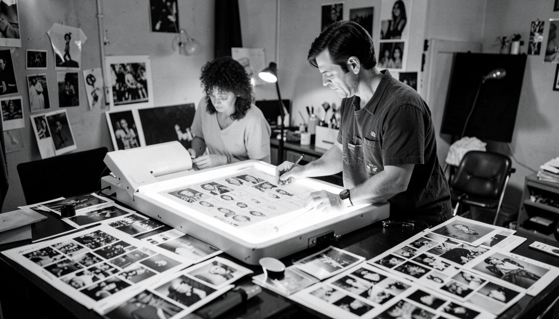
An archive can preserve a journey without presenting it as a simple line on a map. In Micha Shagrir’s collection, travel emerges through film reels, contact sheets, notebooks, interviews, production records and photographs. Each item can place the filmmaker in a particular city, border region or temporary field location, while also revealing the people, institutions and political circumstances that shaped the work.
Tracing these movements means reading several kinds of evidence together. A street scene may identify a neighbourhood; a production log may name a fixer or translator; a passport stamp may narrow down a date; and a reel label may connect a sequence to a documentary project. The resulting itinerary is an evolving research tool rather than a definitive travel diary.
For Australian audiences, this approach will feel familiar through institutions such as the National Film and Sound Archive in Canberra and the State Library of New South Wales, where photographs, oral histories and moving-image records are often interpreted as connected fragments. Researchers may also begin with digital discovery tools such as Trove, then move into collection catalogues and original holdings.
The map has value beyond geography. It shows how Israeli documentary practice encountered the wider Middle East, how stories crossed language and political boundaries, and how a working filmmaker responded to changing conditions. It also gives students, curators and family historians a way to understand the archive as a record of movement, contact and observation.
Reading Movement Through Primary Sources
The most useful route map begins with the archive’s physical and audiovisual evidence. A negative sleeve, a reel canister or a handwritten caption may contain a place name that does not appear in a published biography. When several records point to the same location, researchers can build a provisional timeline and compare it with known events, production schedules and broadcast dates.
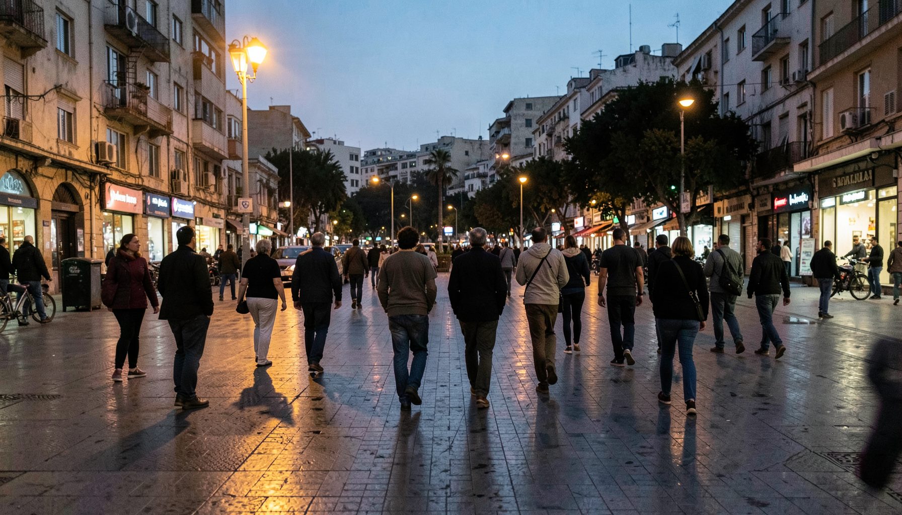
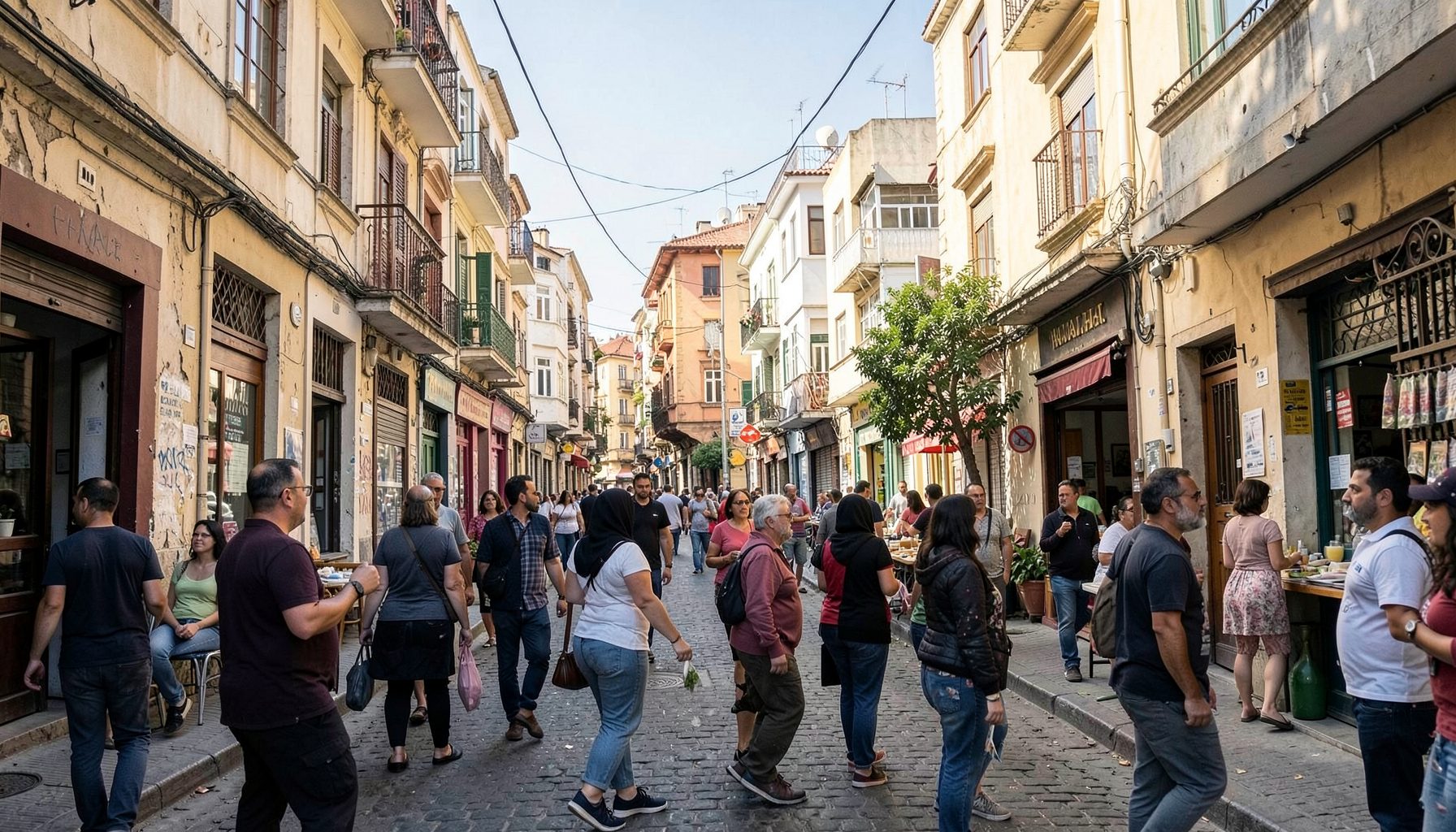
Photographs are especially valuable because they preserve incidental details. Shop signs, road markings, military vehicles, architectural styles and newspaper mastheads can help identify a setting. Sound recordings add another layer: accents, ambient traffic, music and spoken references may clarify whether a scene was recorded in a capital city, a border town or a rural district.
The archive’s copyright guidance is important when researchers reproduce stills, quote recordings or publish frames from documentary footage. For Australian universities, museums and independent writers, checking rights before placing an image online is a practical part of responsible archival work, particularly when material includes identifiable people or politically sensitive events.
From Production Stops To Regional Networks
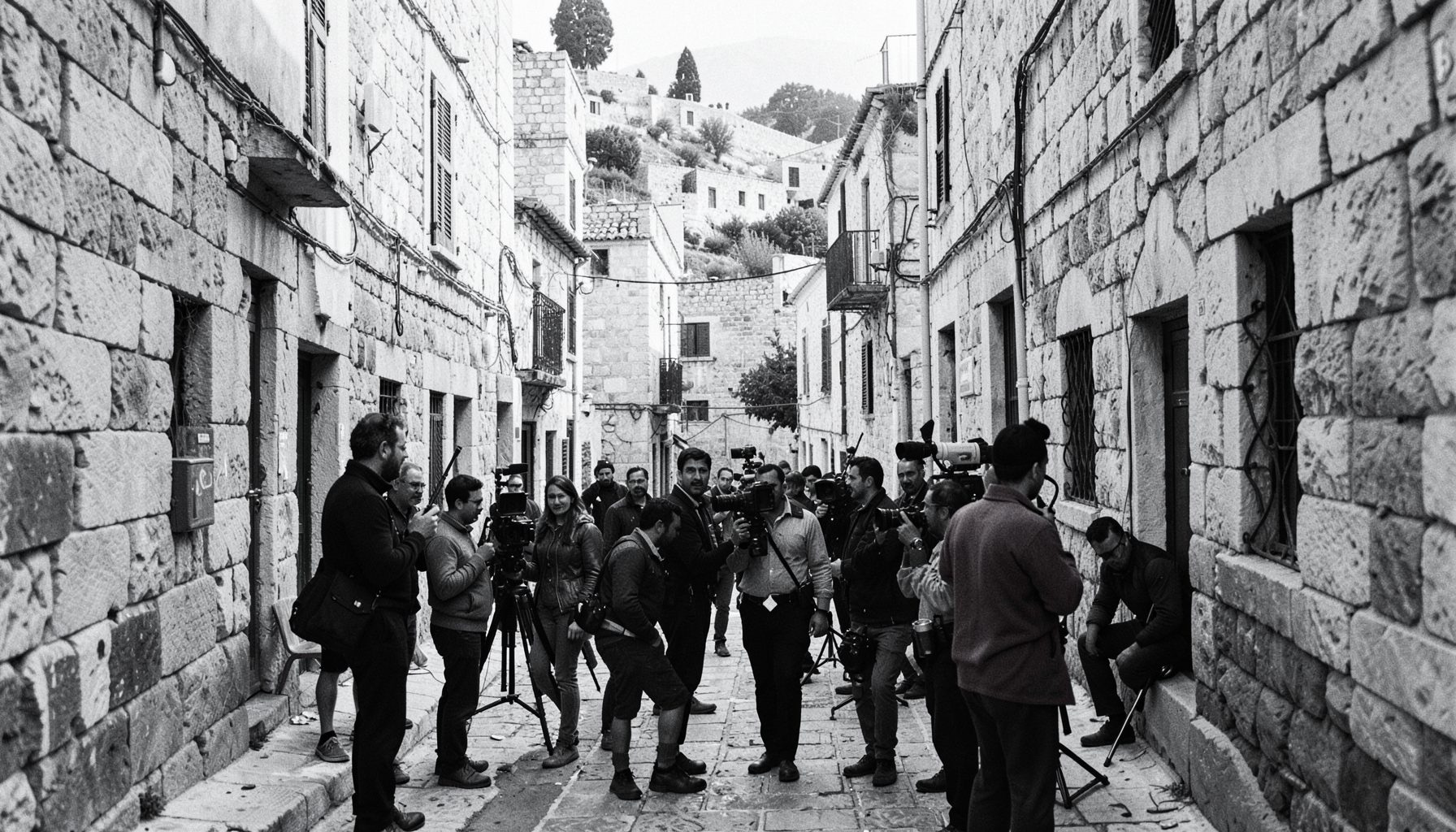
A filmmaker’s route rarely follows a neat sequence of destinations. It may include a main assignment, a return visit for additional interviews, a stop arranged by a broadcaster, or a detour made possible by a local contact. Looking at the collection as a network therefore reveals relationships between producers, journalists, fixers, interpreters, soldiers, community leaders and ordinary residents.
This network can show how information travelled across the region. A conversation recorded in one place may lead to a later interview elsewhere; a photograph may document a meeting that generated another film; and correspondence may reveal why a particular location mattered to the project. Such links turn a map into a history of collaboration rather than a display of isolated pins.
Digital projects can also benefit from careful location data. A cultural organisation assessing platforms, digitisation workflows or audience development may encounter broader discussions about investment and technology while planning the financial side of an archive project. The essential principle is that technology should support interpretation, preservation and access, rather than flattening complex journeys into attractive but shallow graphics.
Borders, Languages And Changing Contexts
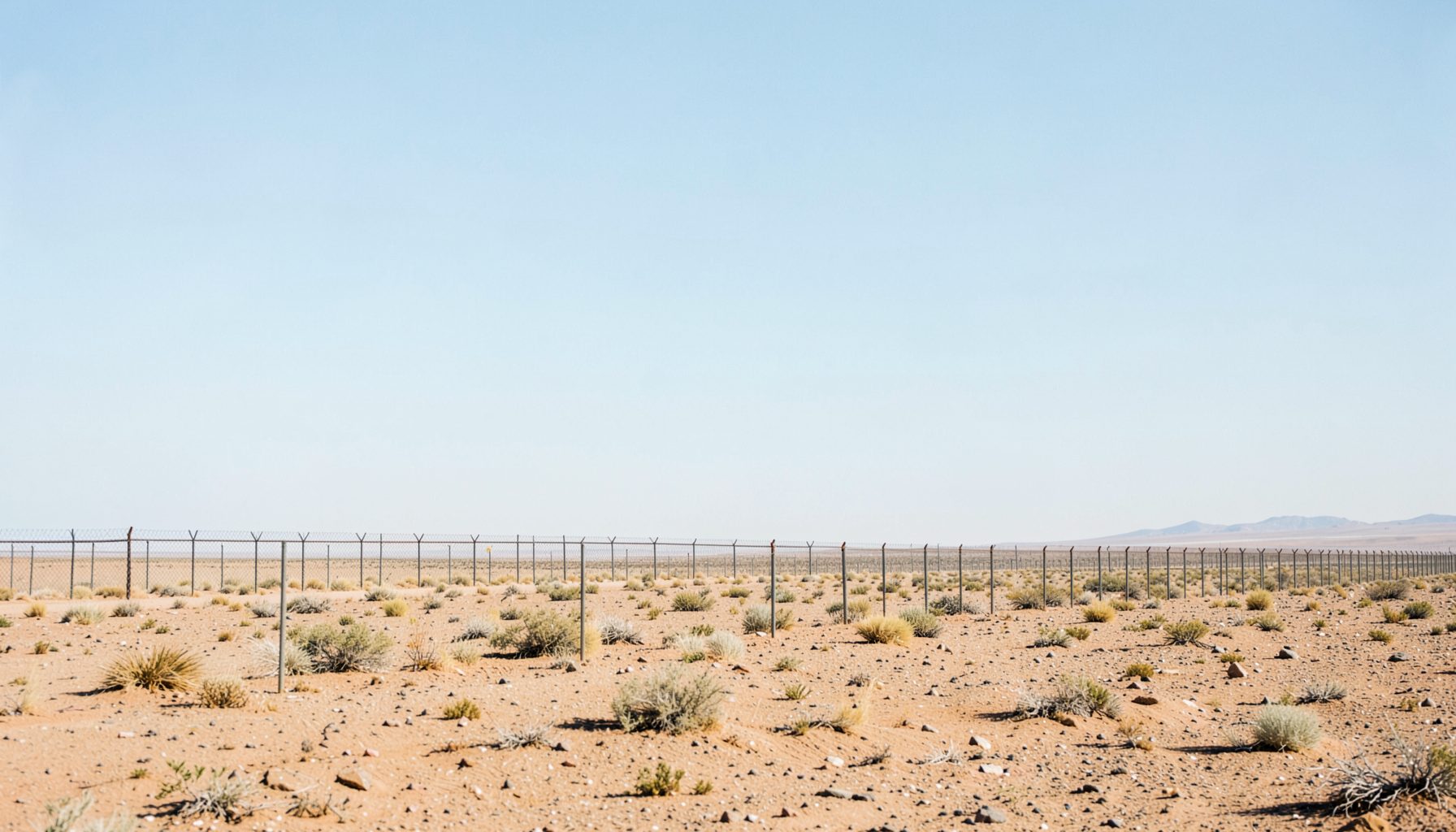
Routes across the Middle East carry political meaning. Borders have shifted, checkpoints have altered daily life, and place names can have different spellings or political associations depending on the period and the language used. A responsible map should retain those variations, record the source for each identification and avoid presenting uncertain information as fact.
Multilingual material is central to this work. Hebrew, Arabic, English and other languages may appear across captions, broadcast scripts, letters and interviews. Transliteration can obscure connections: two records may refer to the same town under different spellings, while a translated title may remove the original nuance. Researchers need to preserve original wording alongside searchable English descriptions.
This is where local Australian expertise can contribute. A researcher in Melbourne or Sydney may consult university language specialists, community archives and diaspora organisations before interpreting a place or event. A quick “have a yarn” with a community historian can reveal context missing from a catalogue record, although oral testimony should still be documented, attributed and compared with other evidence.
Building A Map For Research And Learning
An effective digital map can combine dates, locations, media types and confidence levels. Each point might link to a photograph, a film sequence, a production document and a short note explaining how the location was identified. Colour coding could distinguish confirmed sites from probable or unresolved ones, allowing users to see where the archive speaks clearly and where further research is needed.
The map could also be designed for different audiences. School students might follow a small number of journeys and examine how documentary images construct a sense of place. University researchers could filter records by decade, format or subject. Museum visitors might encounter a wall map paired with headphones, enlargements and short extracts from interviews.
Australian cultural institutions understand the importance of sustainable access. A project in Canberra, Brisbane or Perth must account for preservation storage, metadata standards, copyright clearance and long-term hosting, rather than treating a map as a one-off exhibition feature. The same practical thinking applies to community groups that may have limited staff and need clear processes for scanning, description and permission management.
Funding context matters as well. A family, foundation or cultural body exploring ethical ways to support archival work may find that Islamic home finance belongs to a separate personal-finance conversation, but the link reflects a wider reality: audiences often encounter heritage projects through overlapping networks of culture, faith, migration and household economics. A well-designed archive can acknowledge those connections without confusing its historical purpose.
Preserving The Route Beyond The Screen
A route map is only as reliable as the records behind it. High-resolution scans, stable filenames, conservation housing and consistent metadata help ensure that future researchers can revisit the evidence. Physical originals remain essential, since a digital copy may omit paper texture, annotations, edge markings or the sequence of items in a folder.
Preservation also requires attention to privacy and dignity. Some photographs may show people during conflict, displacement or political unrest. Some interviews may contain personal information that was never intended for unrestricted publication. Access decisions should consider the wishes of rights holders, the sensitivity of the material and the difference between scholarly value and public exposure.
The Shagrir Collection can develop this work through partnerships with filmmakers, historians, educators and communities connected to the journeys represented in the archive. Australian researchers who identify a relevant photograph, production note or family connection can use the collection’s contact details to share information or discuss research access.
Over time, the map will remain open to correction. New names may be attached to old photographs, an uncertain location may be confirmed, or a previously overlooked recording may change the sequence of events. That continuing process is the strength of the archive: Shagrir’s travels become a living record of documentary practice, regional history and the many human connections that make movement meaningful.